
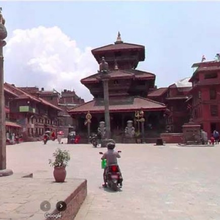
Nepal Street View Coverage: Explore Nepal Virtually Like Never Before
Nepal, the land of the Himalayas, has long fascinated travelers, photographers, and adventurers alike. From the bustling streets of Kathmandu to the serene villages of Mustang, Nepal offers a rich tapestry of culture, history, and natural beauty. Thanks to Google Street View and other virtual mapping technologies, you can now explore Nepal’s streets, mountains, and cultural hubs from anywhere in the world.
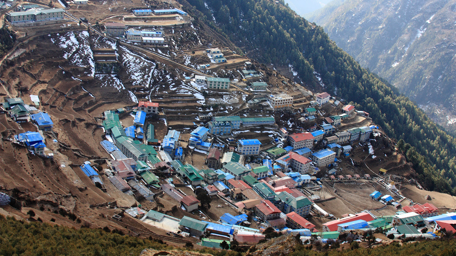
What is Nepal Street View?
Street View is a feature offered by platforms like Google Maps that allows users to virtually navigate streets and landmarks using 360-degree panoramic images. In Nepal, this technology has opened doors for tourism promotion, urban planning, and remote exploration.
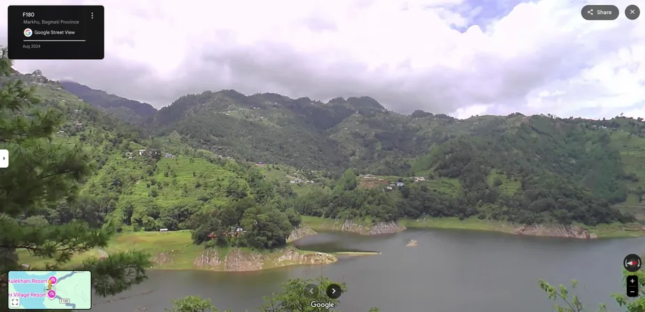
Key Highlights of Nepal Street View Coverage:
- Major Cities Covered: Kathmandu, Pokhara, Bhaktapur, Patan, and Lalitpur streets are fully mapped.
- Tourist Attractions: Popular sites such as Pashupatinath Temple, Boudhanath Stupa, Patan Durbar Square, and Phewa Lake in Pokhara are included.
- Mountain Roads: Some trekking routes and mountain roads, including areas around Nagarkot and Sarangkot, are partially captured for scenic virtual tours.
- Cultural and Heritage Sites: UNESCO World Heritage Sites like Bhaktapur Durbar Square are available for virtual exploration.
Benefits of Nepal Street View Coverage
1. Virtual Tourism
Nepal Street View allows travelers to plan trips effectively by exploring streets, restaurants, and hotels before arrival. It also provides inspiration for photographers and adventure enthusiasts.
2. Educational Resource
Schools, universities, and research institutions can use Street View for geography, culture, and architecture studies, making Nepal a virtual classroom for global learners.
3. Urban Planning and Mapping
Government agencies and NGOs use Street View for urban planning, traffic management, and disaster preparedness, particularly in flood- and earthquake-prone areas.
4. Cultural Preservation
Virtual mapping helps preserve Nepal’s rich heritage digitally, allowing people worldwide to experience and learn about its history, art, and architecture.

Limitations and Gaps in Coverage
While Nepal Street View offers many benefits, some limitations still exist:
- Remote Regions: High Himalayan trekking routes like the Annapurna Circuit, Langtang Valley, and Upper Mustang are mostly unmapped.
- Seasonal Access: Mountain roads and rural villages may not be captured due to weather conditions or accessibility issues.
- Data Updates: Some areas in Kathmandu and other growing cities may not reflect recent urban development.
How to Access Nepal Street View
You can easily explore Nepal virtually through:
- Google Maps: Simply drag the yellow Pegman icon to streets highlighted in blue.
- Google Earth: Offers a 3D perspective of cities, mountains, and cultural sites.
- Virtual Tours: Many Nepal tourism websites and travel agencies provide curated Street View tours online.
Future of Street View in Nepal
The future of Nepal Street View coverage looks promising. Plans are underway to:
- Map more rural and remote regions, including trekking trails and high-altitude villages.
- Integrate local businesses and tourism services for better planning.
- Enhance virtual experiences with 360-degree videos and AR-based cultural tours.
Conclusion
Nepal Street View is a powerful tool for explorers, students, and tourists, enabling virtual travel to one of the world’s most diverse and stunning countries. While some areas are yet to be covered, the existing maps provide a detailed look at Nepal’s streets, landmarks, and cultural heritage.
Whether you are planning your next trek, studying Nepalese culture, or simply exploring from home, Street View brings the beauty and vibrancy of Nepal right to your screen.
